Mapping the Way Back to School
Mapping the Way Back to School
When you think about back to school for you or your children (or other kids in general) what kind of images pop into your head? Maybe you remember wearing a crisp new outfit the first day of school. Or maybe you’re thinking about
how it felt to lift your leg high and take that first big step back onto the school bus. Perhaps you recall the excitement of seeing friends again or the flip side of that when you felt butterflies in your stomach as you ventured out into a whole different world after enjoying the long break of a summer vacation. This year is different for most – for parents and children – although many of these same images are conjured up. Maybe some are thinking about sitting at their newly-acquired desk at home with their freshly-cleaned computer ready to lead them into the world of virtual learning. Either way, back to school is still an important time, a mile marker that allows one and all to hit the reset button and embark upon new adventures.
For the Map Geek, one of the most vivid images of back to school is one of maps. No surprise there. The Map Geek remembers very well sitting in the classroom and gazing hour after hour and day after day at the maps that flanked the chalkboard (or whiteboard in later years.) There was typically a world map and a more regional one as well. Bright colors reigned supreme, rendering these large prints as the artwork par excellence for the classroom. Some teachers were super cool and also displayed a globe on the edge of their desk. (That was typically the case for social studies, Map Geek’s favorite class.)
Learning to read a map is like a course in Living 101. Just like regular reading, reading a map is an essential tool for finding your way around in life. Reading a map also enables you to begin to understand other cultures. On most maps you can see that African countries such as Niger, Chad and Sudan are almost entirely made up of the desert–bone-dry earth that makes agriculture an almost impossible feat. So it’s no wonder that famine has shaped these countries’ history throughout the ages. Conversely, Indonesia looks real lush and wet! Understanding topography and geography leads to greater understanding of the people that live there. This knowledge, of course, includes the history and culture of many different peoples, factors that both unite and divide us.
It is often said that you can see the world through books. Well, that’s also the case for maps: You can see the world through maps!
This is part of why maps have been such an integral part of the classroom experience. For those learning remotely, it’s also important. If you haven’t already done this, parents should put maps on their shopping list. Change out that old Justin Bieber poster on your kid’s wall for a map, equip their room with a globe and start using map placemats at the kitchen table. These are all great conversation starters as well as fun learning tools. (See below for some excellent online resources for procuring maps.)
You can also help and encourage your children to make their own maps. Start with a map of the house – or for the little ones, just a map of their room. National Geographic provides some great ideas for incorporating geography into children’s lives through craft projects and fun learning games. And since this is the year of the census, you can even guide your child on how he or she can conduct their own census without even leaving their home. This could also be a good way to encourage them to call their grandparents!
If you want to take map-making to a different level, check out BrainPOP’s Make-a-Map, an interactive concept mapping tool that focuses more on ideas and images rather than geography.
Kids like to know what’s going on with other kids, especially if they have more limited contact with their friends. Together you can check out the regularly updated state-by-state map at Education Week that shows the status of schools across the United States and how they’re responding to the COVID-19 pandemic. There you can find out, for example, that there’s a state-ordered school closure in effect for all of Washington DC through early November 2020 whereas Florida has a state-ordered in-person instruction available for full- or part-time education.
As you map your way back to good effective learning for your child (and yourself) this fall, be sure to remember to integrate maps into the program. It’s easy to do, particularly since maps are so visual and in case you don’t already know, children are primarily visual learners. So ease up on the talking, pull out a map and trace and point to your heart’s delight. Your child will thank you for it.
Map Purveyors par Excellence
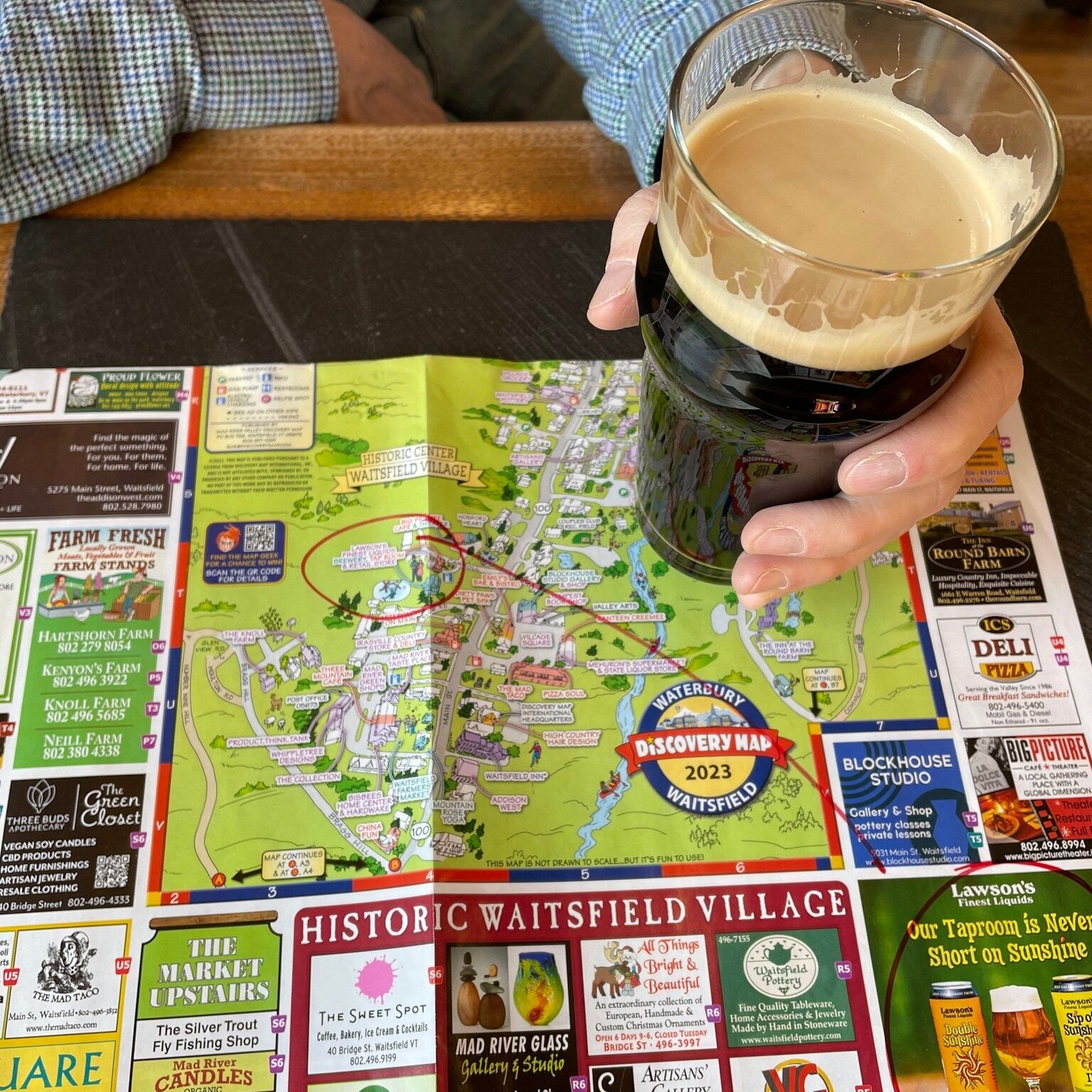
The Map Geek recommends ordering Discovery Maps for you and your children. They cost less than a dollar (wow!) and offer a fun, cheery way to become acquainted with some of the best travel destinations in America and beyond, including locales in Puerto Rico, Mexico and Canada. Order maps of where you’ve already been and of places you hope to travel to some day and you’ll end up with quite the collection.
For hand painted mountain maps by legendary mapmaker James Niehues, check out his site and also Map Geek’s blog that features this ski map maker extraordinaire. One of his maps or his book would make a handsome gift for your outdoor enthusiast teenager.
For more online shopping suggestions for maps, check out the Map Geek blog Navigating Online Map Gifts.


